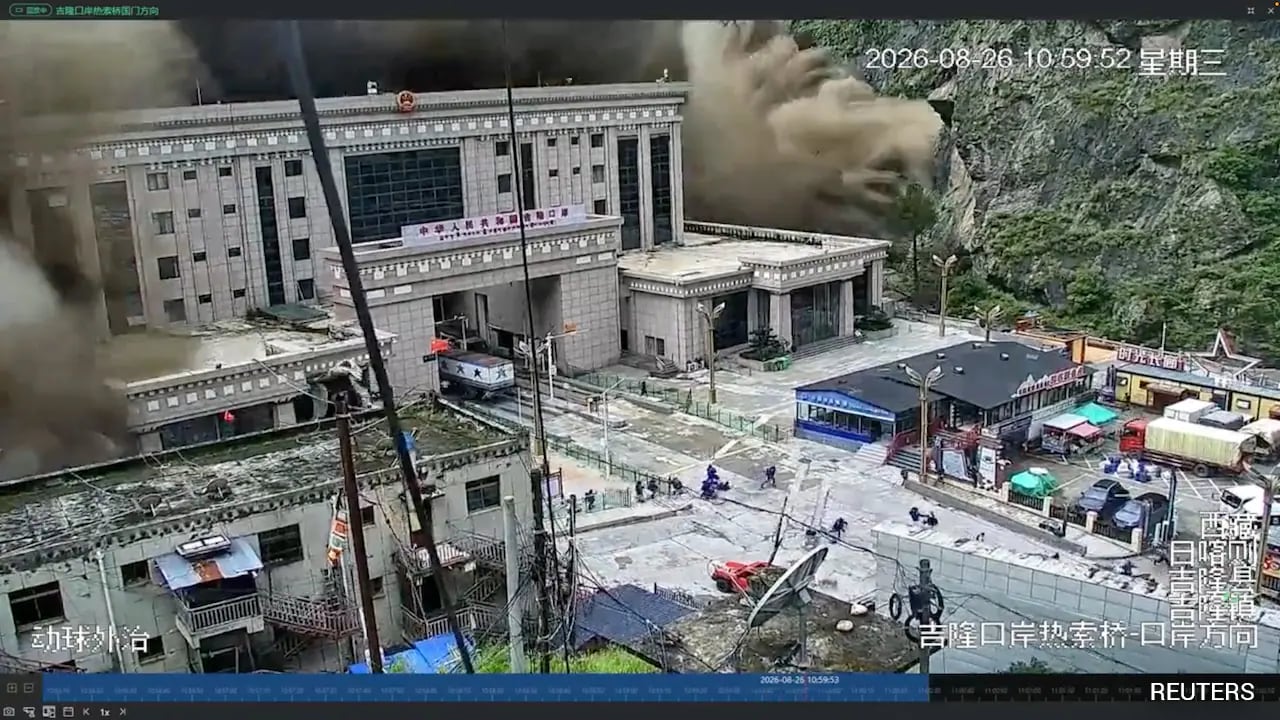
Every monsoon season, lazy journalism finds its favorite bogeyman. This year, the headlines scream about a barrier lake on the Tibet-Nepal border threatening cataclysmic failure within 72 hours. Cue the breathless panic. Cue the bureaucratic hand-wringing. Cue the routine exploitation of Himalayan geography for maximum clickbait yield.
Stop buying the hysteria. Meanwhile, you can find other developments here: The Letters That Cross the Fault Line.
I have spent two decades analyzing high-altitude hydrology and cross-border disaster response frameworks. I have watched millions of dollars flow into panicked emergency committees that dissolve the moment the sun comes out, leaving local communities none the wiser and entirely unprotected against actual geological reality. The mainstream narrative treats these glacial and landslide-dammed lakes as ticking time bombs waiting to wipe out villages downstream. That framework is fundamentally flawed. It misreads the physics of mass-movement events, ignores centuries of adaptive local engineering, and completely misunderstands how sediment transport actually works in the roof of the world.
The lazy consensus tells you that a barrier lake equals an inevitable downstream apocalypse. Let us look at why that premise collapses under basic scrutiny. To understand the full picture, we recommend the excellent analysis by NBC News.
The Myth Of The Predictable Breach
The core error in almost every warning about the Tibet-Nepal border region is the obsession with arbitrary countdown clocks. Seventy-two hours. Forty-eight hours. Ten days. These numbers are pulled straight from bureaucratic guesswork disguised as predictive modeling.
Geological hazards do not run on a corporate sprint schedule.
When a landslide blocks a river gorge in the Himalayas, creating a temporary barrier lake, the immediate reaction from downstream authorities is to evacuate half a valley and wait for Hollywood-style destruction. But nature rarely cooperates with disaster movie tropes. A barrier lake is not a manufactured concrete dam with a single structural failure point. It is a dynamic pile of chaotic debris—boulders, gravel, mud, and ice—that interacts continuously with flowing water.
Most of these natural dams do not catastrophically burst in a cinematic wall of water. They seep. They erode gradually. They carve out spillways over days or weeks, releasing stored volume in a controlled, albeit muddy, pulse. When a catastrophic breach does happen, it is almost always the result of secondary triggers—like cloudbursts or seismic activity—that no 72-hour warning window could ever accurately predict anyway.
By treating every temporary impoundment as an immediate existential crisis, we exhaust emergency resources, bankrupt local tourism economies, and train populations to ignore genuine warnings when they actually matter.
The Downstream Fallacy
Let us dismantle another pillar of the mainstream narrative: the assumption that a sudden lake outburst means total annihilation for every settlement downstream along the major river basins feeding into Nepal.
This argument ignores the massive energy dissipation that occurs over steep, rugged topography. The river valleys slicing down from the Tibetan Plateau to the Nepalese midhills are not smooth concrete flumes. They are choked with gigantic boulders, sharp bends, and wide alluvial fans that act as natural shock absorbers.
When a surge of water breaks through a debris dam, it loses kinetic energy rapidly as it crashes through narrow gorges and hits wider valley floors. Sediment drops out of suspension quickly, forming temporary deposition zones that blunt the leading edge of the flood wave.
Does this mean high-risk zones do not exist? Of course not. Settlements built directly on active floodplains or narrow riverbanks face severe exposure. But painting an entire multi-national watershed with the same brush of imminent doom is intellectually lazy. It strips agency away from local populations who have lived alongside dynamic hydrological systems for generations.
What Actually Matters On The Ground
If the 72-hour panic cycle is useless, what should we be focusing on instead?
First, real-time hydrological monitoring beats predictive speculation every single time. Instead of flying drones over a remote ridge to take dramatic photographs for evening news broadcasts, agencies should invest in robust, low-maintenance stream gauges and automated acoustic sensors placed directly in high-risk riverbeds. When water levels drop unexpectedly or sediment loads spike, local communities need raw data seconds after it happens, not a bureaucratic warning routed through three capitals three days too late.
Second, we need to abandon top-down relocation mandates that ignore local realities. People do not abandon ancestral lands, farms, and livelihoods simply because an international news outlet discovers a new barrier lake on Google Earth. Resiliency strategies must focus on elevated infrastructure, robust escape trails to high ground, and localized community response networks.
The next time a headline warns you that a Himalayan barrier lake is about to wipe out civilization in three days, remember who benefits from that panic. It is not the villagers downstream. It is the disaster industry selling certainty in a landscape defined entirely by chaos.
Stop waiting for the dam to break. Start learning how to live with the river.


