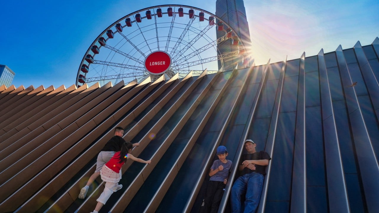
Concrete surfaces are radiating heat like an oven. If you stepped outside in Hong Kong recently, you already know the air feels thick enough to swim through. The city has been baking under an intense heatwave, and the relief of cooling showers is still a few days away.
Urban temperatures recently hit an alarming peak of 36.9 degrees Celsius at the Hong Kong Observatory headquarters, while northern inland districts like Sheung Shui watched mercury readings skyrocket past 39.8 degrees. Behind this blistering weather lies the outer subsiding air of distant tropical systems, keeping skies stubbornly clear and trapping heat right over the Pearl River Delta.
Why the Current Heatwave Hits So Hard
Weather dynamics in Hong Kong during peak summer rarely follow a simple script. When tropical cyclones track across nearby coastal provinces like Zhejiang, their outer airstreams act like a giant lid on the atmosphere. This subsiding air suppresses cloud formation, allowing direct solar radiation to bake the territory day after day.
Coastal areas catch a slight break thanks to daytime sea breezes, but inland neighborhoods and densely packed urban canyons bear the full brunt. Asphalt and concrete absorb massive amounts of solar energy during the daylight hours and release it slowly overnight, preventing buildings from cooling down properly. This urban heat island effect means your apartment building stays warm long after sunset.
Senior scientific officers at the Hong Kong Observatory have pointed out that while maximum urban temperatures are hovering around 36 degrees Celsius, certain parts of the New Territories regularly push past 37 or 38 degrees. Working outdoors or commuting through these concrete jungles feels less like walking through a city and more like moving through a sauna.
The Science Behind the Incoming Relief
Change is finally on the horizon, but it will arrive via atmospheric instability. As the dominant ridge of high pressure weakens and shifts, an influx of moisture-laden air will destabilize the region.
You can expect the weather pattern to transition from blinding sunshine to cloudy skies punctuated by heavy showers and thunderstorms toward the end of the week. Rain does two immediate things to break a heatwave. First, precipitation cools the air directly through evaporation. Second, thick cloud cover blocks incoming solar radiation, keeping ground temperatures from spiking.
Even after the showers arrive, temperatures will drop to a more manageable 33 degrees Celsius rather than plunging into actual coolness. Humidity will stay high, meaning the air will still feel sticky, but the removal of that dangerous, record-breaking peak heat will drastically lower heatstroke risks across the territory.
Surviving the Peak Days
Until those showers materialize, you have to protect yourself. Heat exhaustion creeps up quietly.
- Hydrate constantly: Water is your primary defense. Don't wait until you feel thirsty to take a drink.
- Modify your schedule: If you run or exercise outdoors, shift those activities to the early morning hours before the sun hits peak intensity.
- Check vulnerable neighbors: Elderly residents living in older buildings without cross-ventilation face severe risks during multi-day heatwaves. Stop by or call to make sure their cooling systems function properly.
Employers of outdoor workers face strict guidelines under the Labour Department's heat stress warning system, requiring mandatory rest breaks when amber, red, or black alerts trigger. If you manage a team working under the sun, take those warnings seriously.
Keep an eye on official updates from the Observatory over the next forty-eight hours. The transition to rainy weather will bring some localized traffic disruptions when the downpours hit, but the break from the record-setting furnace will be worth every puddle.